Greece is located between Italy and Turkey in the middle of
the Mediterranean Sea. It sits right on the Aegean plate and is specifically
located on the Hellenic Volcanic arc. This places Greece in a hot spot for
volcanic activities and costal hazards. Greece does have a main land but it is also
has a series of islands, and many of those, if not al of these island are volcanoes,
So these major hazards and disasters go hand in hand with each other.
Another problem the Greek islands face in their series of
volcanoes. The country sits right along the "Aegean Volcanic Arc"
which is caused by the seduction of the African under Eurasian plate is what
caused these volcanoes to form. Due to
the activity and high-pressure volcanoes swarm the Mediterranean Sea mostly
located right in the heart of Greece. There are over 100 volcanoes in Greece, though
some have gone extinct. There 6 main volcanoes in Greece which are Sousaki,
Methana, Milos, Nisyros, Kolumbo and the biggest of then all, Santorini. As
Volcano Discovery puts it "It is a very complex stratovolcano dominated by
a large, sea-flooded caldera created by several large explosive
eruptions." This has the largest crater in the world though it is sunken
in the sea. Santorini has had small eruptions in recent years but no major eruptions.
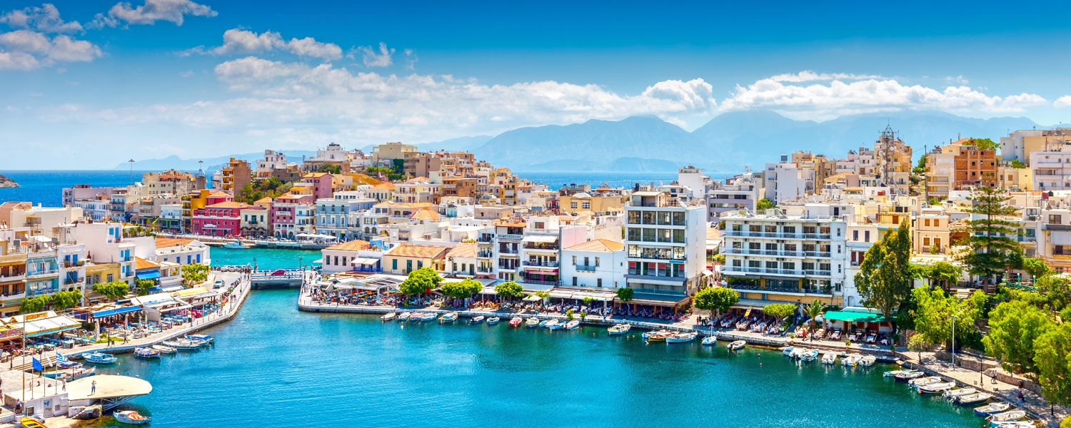
Greece is known for the beautiful turquoise and crystal
clear waters. According to the CIA World Factbook, Greece has 13,676 kilometers
(8,498 mi) of coastline,
the largest in the Mediterranean Basin. Greece has a total of 2,000 Greek
islands but only 168 are inhabited. Majority of the large cities in Greece
are located in what is considered a costal zone, this includes 80% of industrial activity
and 90% of tourism and recreation. This means that 33% of all the
population lives on the coast of Greece. Majority of the coast is rocky cliffs,
which can effect how the waves crash. Though every factor contributes to
what the ocean is like, Greece's shores remain calm majority of the time.
Greece has sensors places on the sea floor to monitor
volcanic activity in the ocean as well as energy levels under water. They were
strategically placed around the island and at the middle of the Santorini
crater. According to Greek Island Travel
"The 24-member research team is also using two submersibles for deep-sea
dives in order to gather detailed information on the structure of the Santorini
caldera." This shows that they do try to be prepared for these types
of events. I think that an App would be a very helpful tool for those living in
dangerous areas or even those who plan to travel to the area. If you can
imagine, it would be something similar to amber alerts. Involuntarily it makes
your phone notify you that there is a series danger near you. It could warn
people of harmful volcanic activity, tsunamis, dangerous storms, or coastal
problems and many more. Also I think that News alerts do help. For those that
do not have access to television and cell phones, local loud sirens to warn
towns could also save many lives. As far as what is already out there, surfline
is very accurate as well as NOAA. Both of these sites can help to be prepared
for what is coming.
When I was told to pick a country to focus my study of each
topic of this class it was a hard choice for me. After careful consideration I
decided on Greece. I picked this country because it is one of my top travel destinations.
Before I started my studies I truly knew nothing about the land, or especially
nothing about the hazards and disasters. Like I mentioned before Most of the cities
in Greece are located in what is called the “costal zones” and the islands them
self are giant volcanoes. Santorini in my opinion is the most beautiful of the
larger cities though it is not the safest. I would definitely try to make this
island safer. This would be would consider my target area. It is a giant
volcano and it does experience serious coastal hazards. Alert systems would help the island of Santorini.
After reading about the negatives and positives of each
location, I would choose Athens as the safest place to live. One because is not
an island. It is on the main land. Also it is not on the top of a volcano. And
lastly, it is not directly next to the ocean, since it is so large has a
northern side that is away from the ocean.


REFERENCES
http://www.volcanodiscovery.com/greece.html
www.flightcentre.com.au
www.manchesterairport.co.uk
http://www.volcanolive.com/greece.html
http://www.volcanodiscovery.com/santorini.html
http://www.greeka.com/greece-holiday/nature/volcanoes/
http://www.volcanodiscovery.com/hellenic-arc.html
http://www.decadevolcano.net/santorini/santorini_geology_geography.htm
https://en.wikipedia.org/wiki/Geography_of_Greece
http://www.climatechangepost.com/greece/coastal-erosion/
http://ec.europa.eu/maritimeaffairs/documentation/studies/documents/greece_climate_change_en.pdf
http://www.visitgreece.gr/en/sea/beaches
http://www.greeka.com/greece-geography/
https://www.researchgate.net/publication/268074280_Coastal_hazard_related_to_landslide_distribution_derived_from_morphotectonic_analysis_SW_Gulf_of_Corinth_Greece